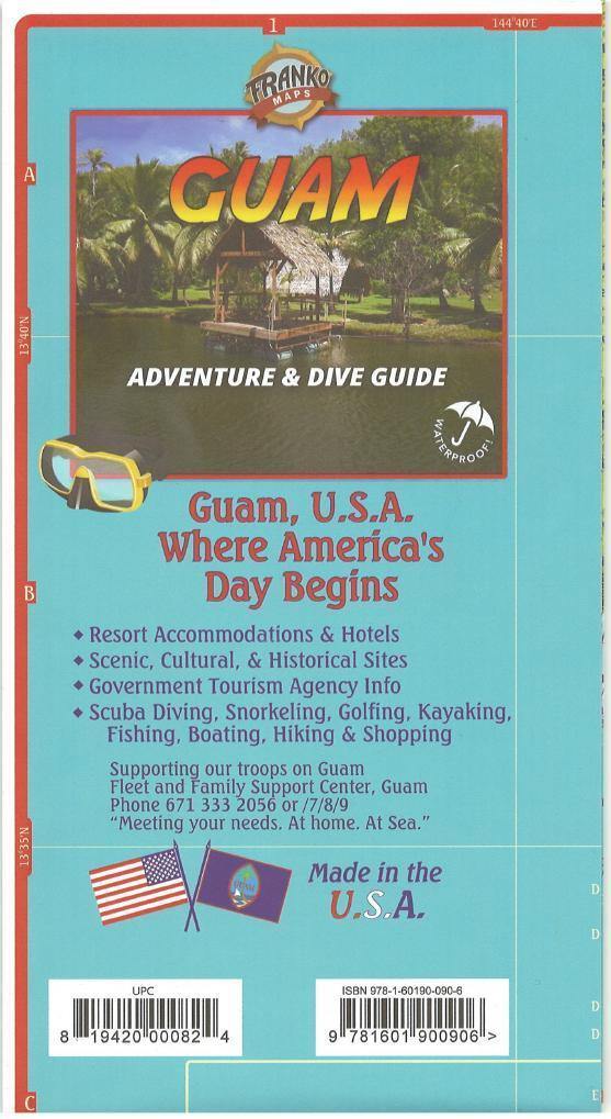

This map includes:
- Scuba Diving and Snorkeling sites
- Golfing, Kayaking, Fishing, Boating, Hiking and Shopping
- Scenic, Cultural, & Historical Sites
- General tourist info
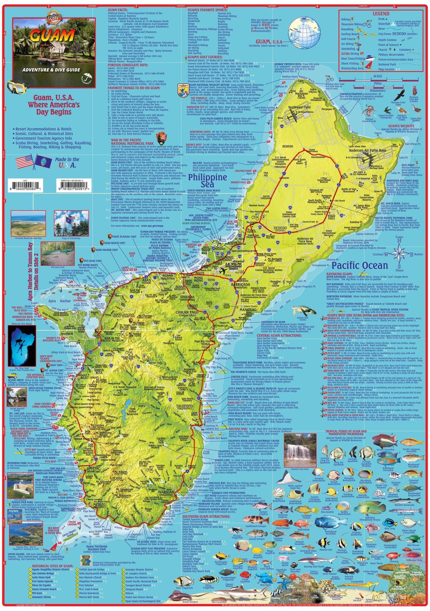
Side One
The entire island is shown in fabulous chartreuse shaded relief so the viewer can see the island topography as it stands out like a beautiful emerald on descending hues of ocean blues, which represent the true depth contours of the surrounding North Pacific Ocean.  Every hill and valley and the streams that flow out of the mountains to become Guam’s numerous rivers can be visualized clearly
Guam’s highways and towns are all superbly mapped out for finding your way around this island, which is just over 30 miles in length and varies from about 4 to 9 miles across, depending on where you measure it. The major towns shown are Agana (Hagatna, in the native Chamorro), Tamuning, Tumon Dededo, Yigo, Barrigada, Maite, Mong Mong, Toto, Agana Heights, Sinajana, Ordot, Asan, Piti,Tiyan (A.B. Wonpat International Airport area), Chalan Pago, Mangilao (University of Guam site), Yona, Talofofo, Inarajan, Merizo, Umatac, Agat, and Santa Rita.
- Guam rivers, streams, bodies of water and waterfalls are shown in accurate detail. Favorite spots to visit are also shown with detailed descriptions.
- Dive and snorkel sites are named and described.
- Guam's classy golf courses are on the map.
- The Blue Hole, Guam's number one scuba dive site is shown, as is Talofofo Falls and Fu'a Rock and Umatac Bay.
Side Two
This side of the map includes two zoom ins – Tumon Bay (the Hotel row area), and the area from Apra Harbor (lots of wrecks to scuba dive on) to Tumon Bay, which includes the scenic and historical capital of Agana (Hagatna in Chamorro). Side 2 also features a map of all of Magnificent Micronesia. The Micronesia map is surrounded by nine mini maps of Micronesia's most prominent islands. They include Northern Mariana Islands (Saipan, Tinian and Rota), Chuuk (Truk) Islands, Pohnpei Islands, Majuro and Arno Atolls of the Marshal Islands, Kosrae, Yap Islands and Palau Islands.
As you can see, this is a map and a guidebook rolled into one. Enough info to help you plan your trip and a handy reference to carry and use on Guam.
18.5" x 26", folded to 4.5" x 9" and printed on waterproof, rip-resistant material.